Blab News
Wildfire Smoke to Blanket Seattle, Portland; Health Advisories Issued as Winds Shift East
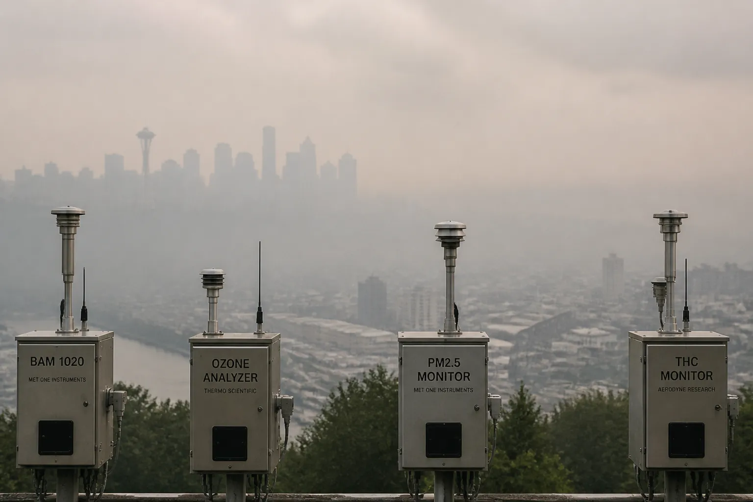
Wildfire smoke from a series of large fires in eastern Oregon and Washington is expected to drift westward into the Pacific Northwest’s major cities over the next few days, creating unhealthy air quality conditions in Seattle, Portland, and surrounding communities. The shift is driven by offshore winds from the east and northeast that will carry smoke across the Interstate 5 corridor and the Willamette Valley until Thursday, when the wind pattern is forecast to turn back eastward and the smoke layer will begin to thin.
The current wildfire season has seen more than 30 large fires burning in central and eastern Oregon, while the Spokane, Washington, metro area has already suffered the destruction of hundreds of homes and businesses. Additional fires are active in Idaho, Montana, and Utah, contributing further to the smoke plume that is now moving toward the west coast. The combination of dry vegetation, high temperatures, and strong winds has amplified the spread and intensity of these fires.
Meteorologists report that the prevailing wind shift will bring the smoke into the I‑5 corridor—including Seattle, Tacoma, and Olympia—as well as Portland, Salem, Corvallis, and Eugene, with air quality forecasts predicting levels that are at least code orange for sensitive groups. By Wednesday, the smoke is expected to be widespread across the region, and the forecast indicates that the plume will spill across the Rockies later in the week, potentially affecting Yellowstone and Aspen. On Thursday, the return of regular west‑to‑east winds is expected to push the smoke further east and allow the layer to thin.
The heat wave that has gripped the Pacific Northwest is also continuing, with daytime highs projected to approach 90 °F in Seattle and the upper 90s in Portland. In some neighborhoods between Portland and Eugene, temperatures could reach or exceed 100 °F, approaching record highs for the area. The dense smoke can reduce visibility and, according to the forecast, may lower the measured temperatures by a few degrees.
In the coming week, the region is also expected to experience monsoon‑style thunderstorms that could bring much-needed rain. However, precipitation over recently burned areas carries a risk of flash flooding and muddy debris flows, and some storms may produce only lightning and wind without rainfall.
Wildfire smoke contains fine particulate matter (PM₂.₅) that can penetrate deep into the lungs and enter the bloodstream. Short‑term exposure can cause coughing, shortness of breath, a scratchy throat, runny nose, and burning eyes. Prolonged exposure to dense smoke has been linked to increased risk of chronic lung issues, heart attacks, and strokes. Public health officials advise that people with respiratory or heart conditions, the elderly, children, and pregnant individuals should limit outdoor activities when the air quality index (AQI) reaches code orange or higher.
Residents can check the local AQI on the Weather Channel app or on weather.com by selecting the “Air Quality” button. The index is color‑coded from green (good) to maroon (hazardous). When the forecast shows code red, purple, or maroon, officials recommend staying indoors, using air‑purifying devices, and keeping pets indoors unless absolutely necessary.
At present, no official emergency declarations have been issued beyond the ongoing wildfire alerts in Washington and Oregon. State and local health agencies are monitoring the situation and are prepared to issue additional advisories if the AQI rises to hazardous levels. The smoke is expected to thin by Thursday, but the exact duration and intensity remain uncertain. Residents should stay informed through local news outlets and official weather and health agency updates as the situation evolves.
The current wildfire season has seen more than 30 large fires burning in central and eastern Oregon, while the Spokane, Washington, metro area has already suffered the destruction of hundreds of homes and businesses. Additional fires are active in Idaho, Montana, and Utah, contributing further to the smoke plume that is now moving toward the west coast. The combination of dry vegetation, high temperatures, and strong winds has amplified the spread and intensity of these fires.
Meteorologists report that the prevailing wind shift will bring the smoke into the I‑5 corridor—including Seattle, Tacoma, and Olympia—as well as Portland, Salem, Corvallis, and Eugene, with air quality forecasts predicting levels that are at least code orange for sensitive groups. By Wednesday, the smoke is expected to be widespread across the region, and the forecast indicates that the plume will spill across the Rockies later in the week, potentially affecting Yellowstone and Aspen. On Thursday, the return of regular west‑to‑east winds is expected to push the smoke further east and allow the layer to thin.
The heat wave that has gripped the Pacific Northwest is also continuing, with daytime highs projected to approach 90 °F in Seattle and the upper 90s in Portland. In some neighborhoods between Portland and Eugene, temperatures could reach or exceed 100 °F, approaching record highs for the area. The dense smoke can reduce visibility and, according to the forecast, may lower the measured temperatures by a few degrees.
In the coming week, the region is also expected to experience monsoon‑style thunderstorms that could bring much-needed rain. However, precipitation over recently burned areas carries a risk of flash flooding and muddy debris flows, and some storms may produce only lightning and wind without rainfall.
Wildfire smoke contains fine particulate matter (PM₂.₅) that can penetrate deep into the lungs and enter the bloodstream. Short‑term exposure can cause coughing, shortness of breath, a scratchy throat, runny nose, and burning eyes. Prolonged exposure to dense smoke has been linked to increased risk of chronic lung issues, heart attacks, and strokes. Public health officials advise that people with respiratory or heart conditions, the elderly, children, and pregnant individuals should limit outdoor activities when the air quality index (AQI) reaches code orange or higher.
Residents can check the local AQI on the Weather Channel app or on weather.com by selecting the “Air Quality” button. The index is color‑coded from green (good) to maroon (hazardous). When the forecast shows code red, purple, or maroon, officials recommend staying indoors, using air‑purifying devices, and keeping pets indoors unless absolutely necessary.
At present, no official emergency declarations have been issued beyond the ongoing wildfire alerts in Washington and Oregon. State and local health agencies are monitoring the situation and are prepared to issue additional advisories if the AQI rises to hazardous levels. The smoke is expected to thin by Thursday, but the exact duration and intensity remain uncertain. Residents should stay informed through local news outlets and official weather and health agency updates as the situation evolves.