Blab News
Heavy Rain and Flash Flood Threats Sweep Texas, Missouri, and the South Through Friday
A relentless rain spell is set to drench millions across the South, the Gulf Coast, and Texas through Friday, raising the flood threat to levels that could prove especially dangerous in Texas’ Big Bend and Hill Country. The warning follows a string of storms that already produced flash flooding in southeastern Missouri and left the Guadalupe River in the Hill Country in ruins after its catastrophic July 4 flood last year.
The National Weather Service has issued a Level 3 flash‑flood risk for parts of the Big Bend, including Del Rio, and a Level 2 risk for a broader swath that stretches from western North Carolina to the Big Bend. The Level 2 zone covers southeastern Virginia, east Tennessee, South Carolina, Georgia, central and southern Alabama, central and southern Mississippi, much of Louisiana, eastern Oklahoma, and large portions of central and western Texas—including New Orleans, Houston, Austin, San Antonio, and parts of the Dallas metroplex.
Rain totals are projected to reach 1–3 inches across the Gulf Coast into central Texas by Tuesday, with the system expected to bring 5–8 inches of precipitation across west and southwest Texas, including the Hill Country, by midweek. A heat dome over the northern United States has pushed a weak storm system from east to west, allowing it to slip beneath the dome and head toward the southern Plains.
In response to the elevated risk, Governor Greg Abbott has activated the National Guard and other state resources, deploying them as needed. The move follows the issuance of the Level 3 flash‑flood warning for the Big Bend and the activation of flood watches in the area.
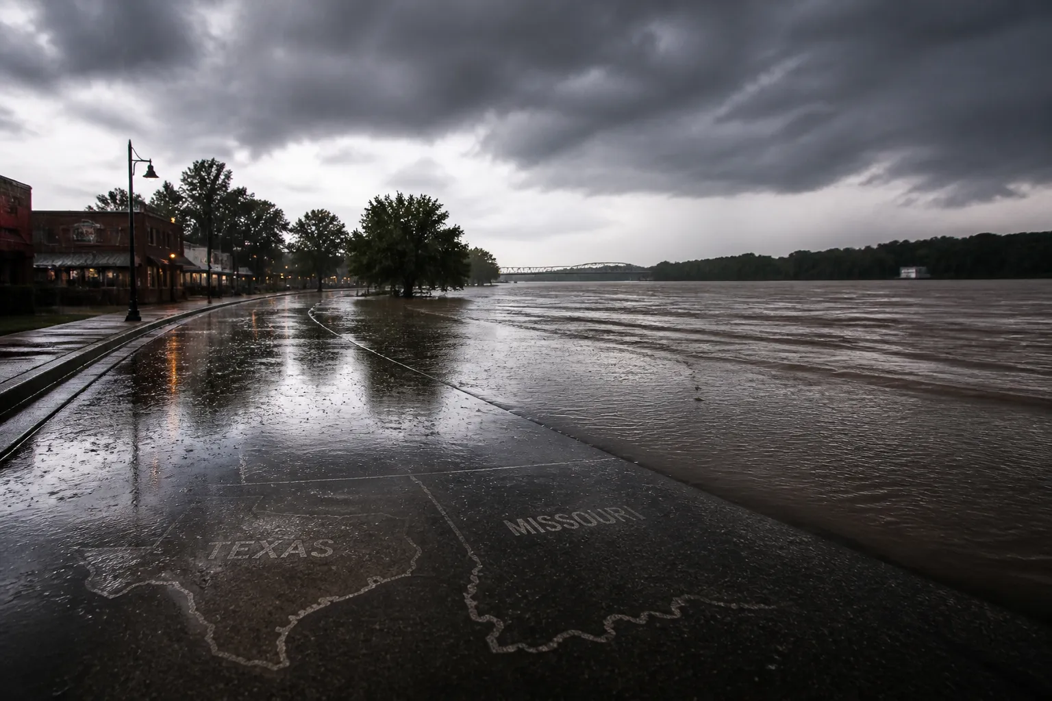
Missouri’s emergency officials issued a Flash Flood Emergency for Iron and Reynolds counties on Friday after some locations received between 9 and 12 inches of rain that morning, causing the Black River to surge rapidly. The emergency came after a series of thunderstorms that began Friday and continued into the weekend, producing record‑setting river crests and trapping hundreds of residents in high water.
The National Weather Service’s forecast for the region includes a Level 2 flash‑flood risk that extends from the Big Bend through the Texas Plains—including Austin and San Antonio—and across the Southeast to Atlanta, Birmingham, Mobile, and New Orleans.
The Big Bend National Park, situated along the Rio Grande in West Texas, lies directly in the path of the forecasted storms. Park officials have urged visitors to monitor local advisories closely, noting that flooding could affect both U.S. and Mexican waters due to the park’s border location.
The current threat is amplified by the lingering effects of the July 4 flood along the Guadalupe River, which killed 135 people and caused widespread damage. A year after the disaster, the region remains in recovery, with rebuilding efforts ongoing and discussions about flood mitigation continuing.
Officials from the Guadalupe‑Blanco River Authority have been collecting rainfall data from automated sensors, though the agency cautions that equipment failure can affect accuracy. The data is posted without a quality check, and the authority does not assume responsibility for inaccuracies.
The combination of heavy rainfall, flash‑flood risks, and the activation of emergency resources underscores the seriousness of the weather situation. Residents in the affected areas are advised to stay informed through local news outlets, the National Weather Service, and official state communications. The National Guard’s deployment and the ongoing monitoring of flood watches and warnings aim to mitigate the impact on communities and infrastructure.
As the storm system moves through the week, the focus will remain on preventing loss of life and property. The National Weather Service will continue to update forecasts, and state officials will monitor the effectiveness of the National Guard’s response. Recovery in the Hill Country and Big Bend is expected to take months, with ongoing assessments of damage and rebuilding plans.
The situation remains fluid, with the potential for additional rainfall and flash flooding as the system progresses. Residents are urged to heed official warnings, prepare for possible road closures, and remain aware of evolving weather conditions.
The National Weather Service has issued a Level 3 flash‑flood risk for parts of the Big Bend, including Del Rio, and a Level 2 risk for a broader swath that stretches from western North Carolina to the Big Bend. The Level 2 zone covers southeastern Virginia, east Tennessee, South Carolina, Georgia, central and southern Alabama, central and southern Mississippi, much of Louisiana, eastern Oklahoma, and large portions of central and western Texas—including New Orleans, Houston, Austin, San Antonio, and parts of the Dallas metroplex.
Rain totals are projected to reach 1–3 inches across the Gulf Coast into central Texas by Tuesday, with the system expected to bring 5–8 inches of precipitation across west and southwest Texas, including the Hill Country, by midweek. A heat dome over the northern United States has pushed a weak storm system from east to west, allowing it to slip beneath the dome and head toward the southern Plains.
In response to the elevated risk, Governor Greg Abbott has activated the National Guard and other state resources, deploying them as needed. The move follows the issuance of the Level 3 flash‑flood warning for the Big Bend and the activation of flood watches in the area.
Missouri’s emergency officials issued a Flash Flood Emergency for Iron and Reynolds counties on Friday after some locations received between 9 and 12 inches of rain that morning, causing the Black River to surge rapidly. The emergency came after a series of thunderstorms that began Friday and continued into the weekend, producing record‑setting river crests and trapping hundreds of residents in high water.
The National Weather Service’s forecast for the region includes a Level 2 flash‑flood risk that extends from the Big Bend through the Texas Plains—including Austin and San Antonio—and across the Southeast to Atlanta, Birmingham, Mobile, and New Orleans.
The Big Bend National Park, situated along the Rio Grande in West Texas, lies directly in the path of the forecasted storms. Park officials have urged visitors to monitor local advisories closely, noting that flooding could affect both U.S. and Mexican waters due to the park’s border location.
The current threat is amplified by the lingering effects of the July 4 flood along the Guadalupe River, which killed 135 people and caused widespread damage. A year after the disaster, the region remains in recovery, with rebuilding efforts ongoing and discussions about flood mitigation continuing.
Officials from the Guadalupe‑Blanco River Authority have been collecting rainfall data from automated sensors, though the agency cautions that equipment failure can affect accuracy. The data is posted without a quality check, and the authority does not assume responsibility for inaccuracies.
The combination of heavy rainfall, flash‑flood risks, and the activation of emergency resources underscores the seriousness of the weather situation. Residents in the affected areas are advised to stay informed through local news outlets, the National Weather Service, and official state communications. The National Guard’s deployment and the ongoing monitoring of flood watches and warnings aim to mitigate the impact on communities and infrastructure.
As the storm system moves through the week, the focus will remain on preventing loss of life and property. The National Weather Service will continue to update forecasts, and state officials will monitor the effectiveness of the National Guard’s response. Recovery in the Hill Country and Big Bend is expected to take months, with ongoing assessments of damage and rebuilding plans.
The situation remains fluid, with the potential for additional rainfall and flash flooding as the system progresses. Residents are urged to heed official warnings, prepare for possible road closures, and remain aware of evolving weather conditions.