Blab News
Colorados Western Slope Faces Multi-Fire Threat as Smoke Blanket Fruita and Glade Park
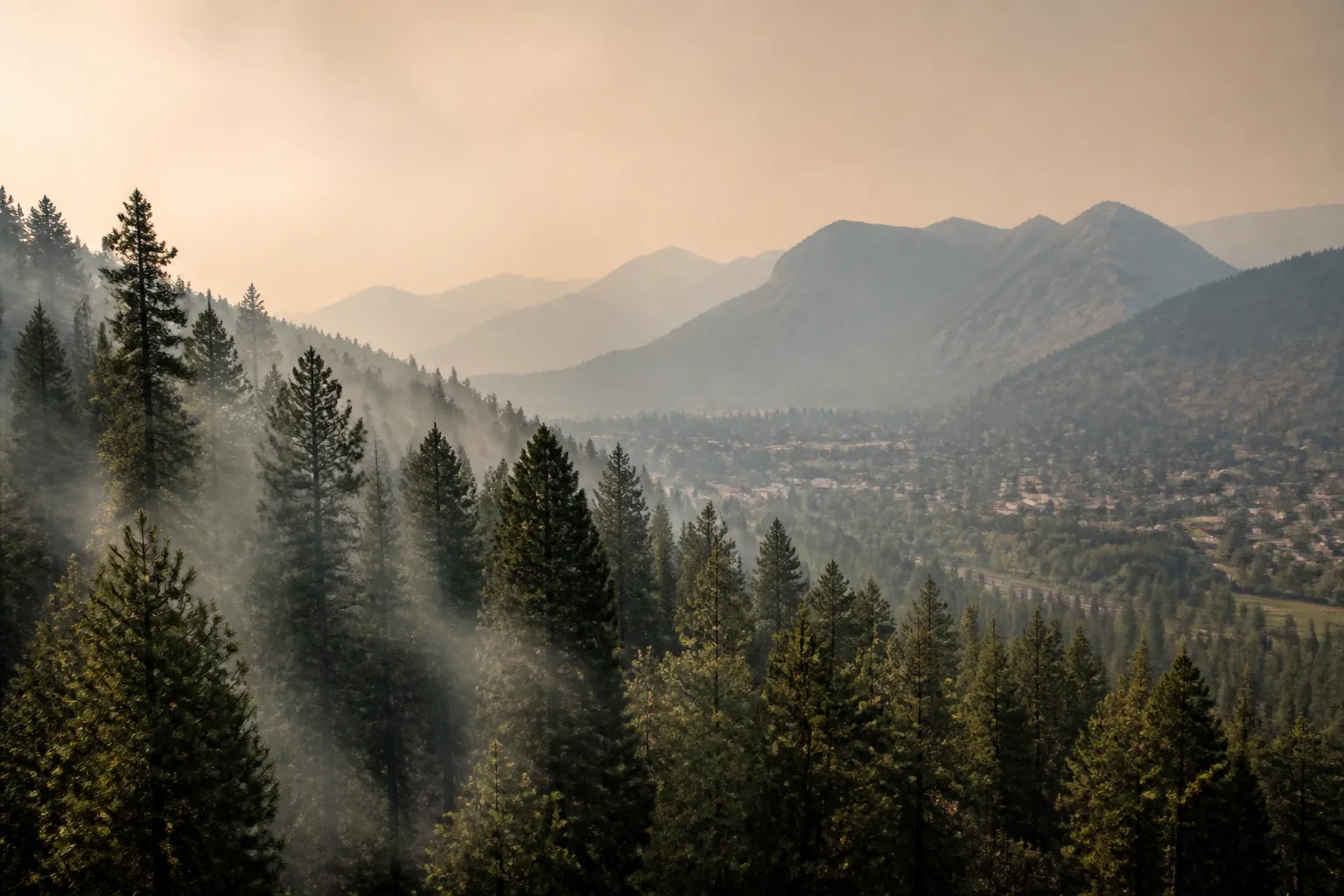
Smoke rolls over the Western Slope, turning the sky a muted gray and turning the air in Fruita and Glade Park into a haze that is already showing its reach.
Perimeter maps released by the National Interagency Fire Center show that the Jones and Snyder Mesa fires, which sit just outside Fruita, have together consumed almost 30,000 acres of dry, shrub‑laden land. A third blaze – the Gold Mountain Fire – is still expanding north of Ouray and has prompted mandatory evacuations for residents in that area.
Pre‑evacuation notices are currently in effect for portions of Mesa County near the Utah border. The Lower Valley Fire District in Fruita has urged residents to keep a close eye on air‑quality advisories because the smoke from the Jones and Snyder fires is already blanketing the community. The unincorporated town of Glade Park, located east of Fruita, sits very close to the perimeter of the active fires.
While officials have not yet issued a definitive acreage figure for the combined fires, satellite‑derived perimeter maps indicate that the Jones and Snyder fires alone have burned close to 30,000 acres. No structures have been confirmed as threatened, but the smoke plume is visible over Fruita and neighboring communities.
In Ouray County, the Gold Mountain Fire has grown to about 50 acres and continues to spread. The county emergency manager described the blaze as “moving quickly” and noted that mandatory evacuations are underway for areas north of the town of Ouray. According to the Ouray County Sheriff’s Office, the fire began after a tree fell on a power line.
A red‑flag warning – a signal of high wildfire danger – remains in effect for the entire Western Slope. The National Weather Service will keep the warning active through Sunday from noon to 10 p.m. The alert points to dry fuels, high winds, and low humidity, conditions that favor rapid fire spread.
The Jones and Snyder fires are part of a broader pattern of wildfire activity on the Western Slope, a region that covers roughly one‑third of Colorado’s land area but houses only about 10 percent of the state’s residents. The area’s steep terrain and dry, shrub‑laden landscapes make it especially vulnerable to large fires.
The Lower Valley Fire District’s advisory on air quality aligns with reports from the Colorado Department of Public Health and Environment, which has issued a “moderate” air‑quality alert for parts of Mesa County because of wildfire smoke.
Fire‑fighting crews from the U.S. Forest Service, the Bureau of Land Management, and local fire districts are coordinating to contain the Jones and Snyder fires. Real‑time data from the National Interagency Fire Center shows that the fires remain active and that containment is limited.
Residents in the affected areas are advised to stay indoors, keep windows closed, and monitor local news for updates on evacuation orders. Emergency managers in both Mesa and Ouray counties have set up information hotlines and shelters for those who need to leave.
The situation remains fluid. Fire officials are monitoring weather conditions that could either aid or hinder containment efforts. As the red‑flag warning continues, authorities are preparing for the possibility of additional fires or rapid expansion of the existing ones.
Colorado’s wildfire season has already seen several large fires, and the current activity underscores the importance of preparedness and rapid response. State emergency‑management agencies are working to keep residents safe while protecting property and natural resources.
For now, the focus remains on containing the Jones, Snyder, and Gold Mountain fires, monitoring smoke impacts, and ensuring that evacuation orders are communicated clearly to the communities at risk.