Blab News
Washington DC Faces Heat, Smoke, and Severe Storms as Canadian Wildfires Persist
On Saturday, July 18 2026, Washington, D.C., and the surrounding Maryland and Virginia counties will confront a triple‑threat: an extreme heat advisory, a lingering haze from Canadian wildfires, and a looming severe‑storm watch.
The National Weather Service (NWS) issued a heat advisory that will run from 11 a.m. to 7 p.m. Officials warn that daytime temperatures could climb into the mid‑90s, with a heat index that may approach 105 °F. The advisory urges residents to stay hydrated, limit strenuous outdoor activity, and seek air‑conditioned spaces.
At the same time, the NWS keeps the air‑quality alert at Code Red or Code Purple for Washington, D.C., and the surrounding area. Those designations signal unhealthy to very unhealthy air for the general population. The haze originates from large Canadian wildfires that have consumed roughly 3.5 million acres across Ontario and the Boundary Waters Canoe Area Wilderness in Minnesota. Visibility is reduced, and the plume is expected to linger into the early afternoon before improving as winds shift.
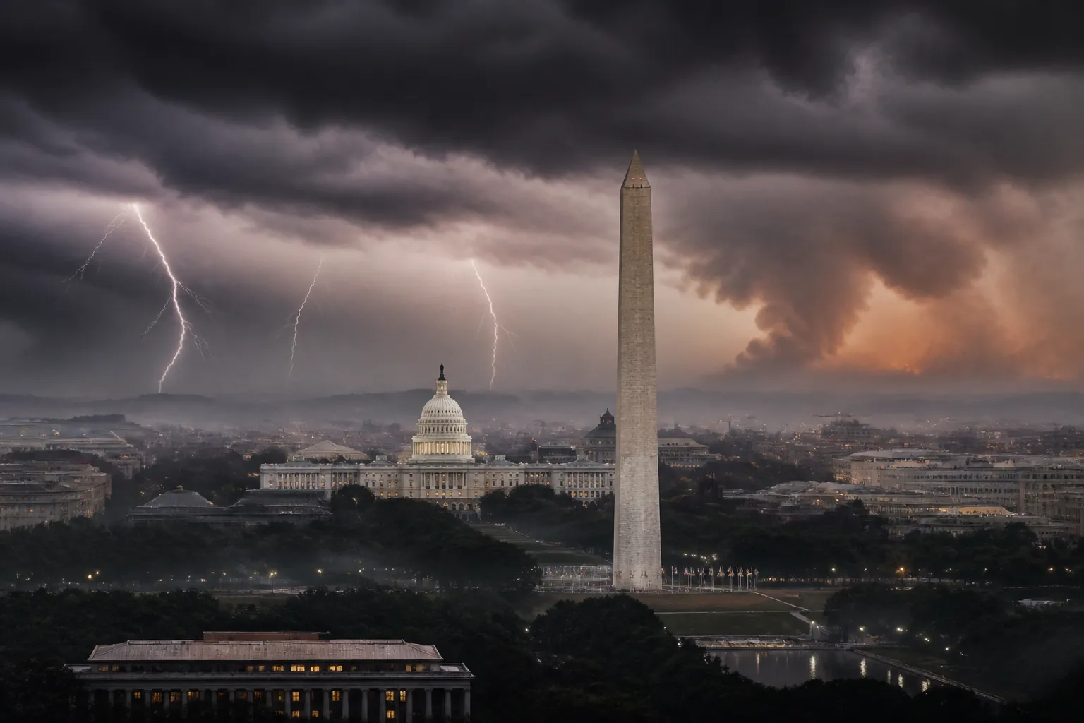
Adding to the day’s complications, a severe thunderstorm watch now covers the DMV region. The NWS cautions that multiple rounds of showers and thunderstorms could develop after 3 p.m., with some storms potentially becoming severe. Wind gusts up to 70 mph, large hail, tornadoes, and heavy rain capable of producing isolated flash flooding are all possible.
"The threat of damaging winds and heavy rainfall is real," the NWS Baltimore‑MD/Washington‑DC office said in a statement. "Residents should remain alert to updates and heed any local warnings."
The convergence of heat, smoke, and storms creates layered risks for public health and safety. The heat advisory and the air‑quality alert target vulnerable populations—elderly residents, children, and people with respiratory conditions—while the severe‑storm watch introduces structural risks. Wind damage and flooding can affect homes, businesses, and infrastructure.
Local officials have urged residents to prepare for both heat and storm impacts. The Washington, D.C., Department of Health has posted guidance on staying cool and safe, and the Maryland Emergency Management Agency has distributed storm‑preparedness checklists.
Looking ahead, the NWS forecasts that conditions should improve behind the storms on Sunday. The Washington area is expected to be mostly sunny, with a high near 89 °F and lower humidity. However, the smoke plume from the Canadian fires is likely to persist for several days, so the air‑quality alert may remain in effect until the haze dissipates.
In summary, Washington, D.C., and its surrounding counties will face a challenging Saturday: a heat advisory, unhealthy air quality from Canadian wildfire smoke, and the threat of severe thunderstorms. Residents are advised to follow official guidance, monitor local weather updates, and take precautions to protect health and property.
The National Weather Service will continue to issue updates as conditions evolve. Local news outlets and the NWS website will provide real‑time alerts for the DMV region.
The National Weather Service (NWS) issued a heat advisory that will run from 11 a.m. to 7 p.m. Officials warn that daytime temperatures could climb into the mid‑90s, with a heat index that may approach 105 °F. The advisory urges residents to stay hydrated, limit strenuous outdoor activity, and seek air‑conditioned spaces.
At the same time, the NWS keeps the air‑quality alert at Code Red or Code Purple for Washington, D.C., and the surrounding area. Those designations signal unhealthy to very unhealthy air for the general population. The haze originates from large Canadian wildfires that have consumed roughly 3.5 million acres across Ontario and the Boundary Waters Canoe Area Wilderness in Minnesota. Visibility is reduced, and the plume is expected to linger into the early afternoon before improving as winds shift.
Adding to the day’s complications, a severe thunderstorm watch now covers the DMV region. The NWS cautions that multiple rounds of showers and thunderstorms could develop after 3 p.m., with some storms potentially becoming severe. Wind gusts up to 70 mph, large hail, tornadoes, and heavy rain capable of producing isolated flash flooding are all possible.
"The threat of damaging winds and heavy rainfall is real," the NWS Baltimore‑MD/Washington‑DC office said in a statement. "Residents should remain alert to updates and heed any local warnings."
The convergence of heat, smoke, and storms creates layered risks for public health and safety. The heat advisory and the air‑quality alert target vulnerable populations—elderly residents, children, and people with respiratory conditions—while the severe‑storm watch introduces structural risks. Wind damage and flooding can affect homes, businesses, and infrastructure.
Local officials have urged residents to prepare for both heat and storm impacts. The Washington, D.C., Department of Health has posted guidance on staying cool and safe, and the Maryland Emergency Management Agency has distributed storm‑preparedness checklists.
Looking ahead, the NWS forecasts that conditions should improve behind the storms on Sunday. The Washington area is expected to be mostly sunny, with a high near 89 °F and lower humidity. However, the smoke plume from the Canadian fires is likely to persist for several days, so the air‑quality alert may remain in effect until the haze dissipates.
In summary, Washington, D.C., and its surrounding counties will face a challenging Saturday: a heat advisory, unhealthy air quality from Canadian wildfire smoke, and the threat of severe thunderstorms. Residents are advised to follow official guidance, monitor local weather updates, and take precautions to protect health and property.
The National Weather Service will continue to issue updates as conditions evolve. Local news outlets and the NWS website will provide real‑time alerts for the DMV region.